Quantify exposure at the source
As weather & climate volatility accelerates, disruption is often identified only after it impacts revenue and operations. Treefera quantifies exposure at the first-mile using AI and satellite intelligence, delivering financial-grade insight into environmental, land-use and production risk before it translates into loss. Plot-level signals are provided across commodities and regions, enabling earlier action to protect revenue continuity, strengthen sourcing decisions and safeguard portfolio performance.

Industry Insights
Access Treefera's Global Risk Dashboard
Built from millions of site and plot-level observations, the Treefera Global Risk Dashboard uses AI, satellite imagery and deep scientific modelling to translate first-mile conditions into a clear, comparable country-level view of risk. Granular field data is stitched together to show how local environmental, operational and social factors scale into national exposure.
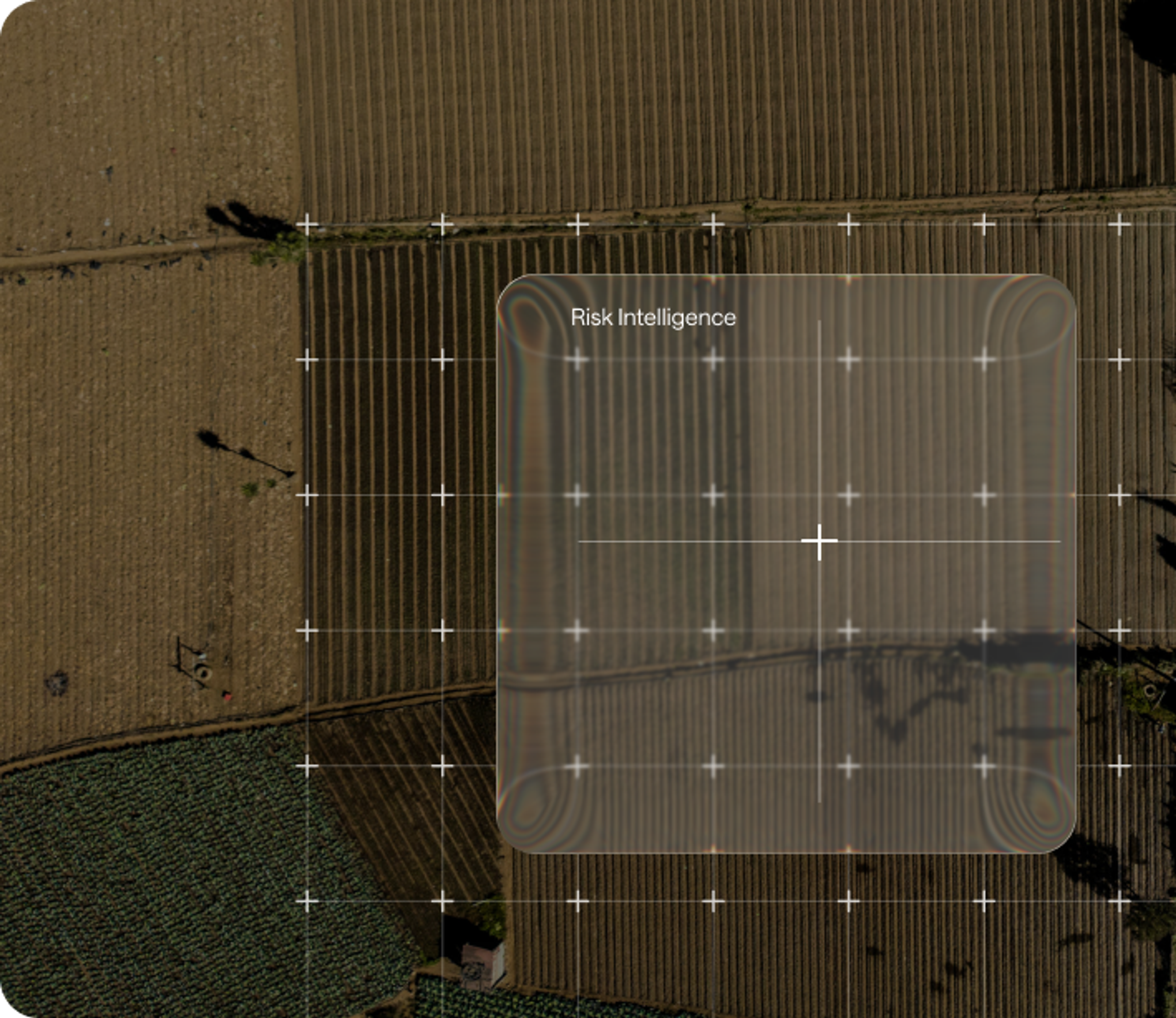
Risk Intelligence
Forecast System
Forecast production area and yield outcomes based on environmental conditions, land characteristics and observed management signals. Understand how assets performs relative to nearby farms, comparable regions or national averages - and quantify how weather & climate volatility may shift output.

Location Similarity
Identify locations with equivalent environmental, climatic and land characteristics to benchmark exposure, compare performance and replicate lower-risk sourcing or project models across regions.

Agricultural Management Practice Detection
Classify land cover and track land-use transitions to identify emerging exposure and safeguard long-term production viability.

Land Use Land Cover Change
Classify land cover and track land-use transitions to identify emerging exposure and safeguard long-term production viability.

Weather & Climate Risk
Model historical and forward-looking exposure to weather & climate volatility at any location to understand how volatility may impact production, performance and asset resilience.

Water Risk
Measure water availability, stress and drought exposure to protect yield stability and long-term asset performance.


Insights
Delivered at Speed. Built for Market Decisions.
80+
Risk Indicators tracked
6
Risk Dimensions Monitored
10M
Plot-level resolution
User-Configurable
User-configurable weighting not black-box scoring

API-first
API-first design for integration into client systems

Standardized scale
Standardized scale a 0-1 scale enables comparison across any geographic location or risk domain

Modular architecture
Modular architecture allows adding new datasets without architectural changes

User-Configurable
User-configurable weighting not black-box scoring
API-first
API-first design for integration into client systems
Standardized scale
Standardized scale a 0-1 scale enables comparison across any geographic location or risk domain
Modular architecture
Modular architecture allows adding new datasets without architectural changes

Recent News

Question
Climate and environmental risk at the first mile – weather volatility, land-use change, water stress, yield deviation – is difficult to quantify because it originates at field level across dispersed, multi-origin supply chains. Treefera's AI-native platform applies satellite intelligence and financial-grade risk modelling to normalise these signals into comparable, location-based risk scores, enabling organisations to size exposure, benchmark suppliers and act before disruption translates into revenue loss.
Clear Data. Clear Decisions
Get the data and insights you need to mitigate risk, build resilience and drive decarbonization.
Request a Demo