Evidence first-mile conditions
In a world of increasing scrutiny, disclosures are only as strong as the evidence behind them. Environmental Intelligence delivers auditable, plot-level data that evidences first-mile conditions, forming a defensible foundation for carbon accounting, project validation and regulatory compliance. By combining satellite imagery, AI-native analysis and land-level datasets, Treefera creates a time-bound record of land-use change and land performance across assets and geographies. The result is trusted environmental evidence delivered at speed and scale - enabling confident disclosure, assurance and capital-aligned decision-making.
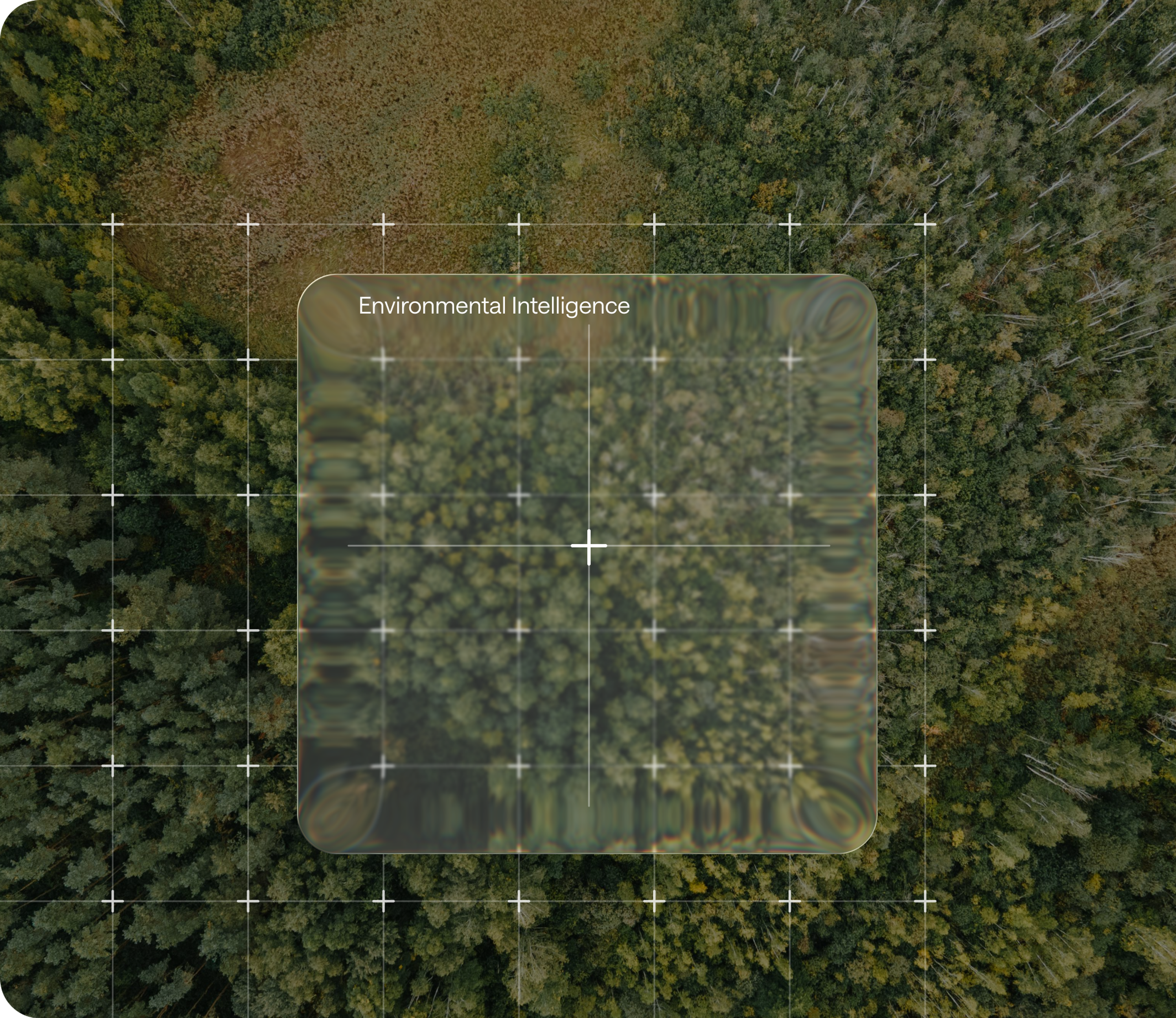
Environmental Intelligence

Deforestation Detection
Identify land-use change events - from clear-cut deforestation to light harvest activity - using satellite and sensor data to detect change at source with precision.

Improved Forest Management
Continuously update carbon baselines using satellite imagery and machine learning models, reflecting how forests would otherwise be managed in real time. 10m resolution plot-level data reduces reliance on weeks of field measurements and enables more accurate credit issuance when land performance exceeds expectations.

EUDR Supply Chain Assessment
Assess land-use and deforestation exposure in line with EU Deforestation Regulation requirements, supporting due diligence, compliance and defensible reporting at the point of origin.

Carbon Map
Visualise carbon distribution and land performance at high spatial resolution, enabling clearer insight into asset quality, risk concentration and carbon potential.

Weather & Climate Risk
Monitor weather & climate volatility at the asset level to understand exposure, anticipate disruption and protect environmental and carbon outcomes.

And more
Environmental intelligence expands across biomass, soil, vegetation, water and land performance metrics, delivering measurable insight at the first mile.
Insights
Delivered at Speed. Built for Market Decisions.
80+
Risk Indicators tracked
6
Risk Dimensions Monitored
10M
Plot-level resolution
Dynamic Baselining and Variance Tracking
Establishes defensible baselines and tracks performance over time. Strengthens additionality, integrity and long-term asset resilience.

Audit-Ready, Time-Bound Evidence Time-stamped, methodology-aligned records tied to specific plots
Feeds directly into accounting, registry and compliance workflows.

Verified first-mile environmental measurements
High-frequency, plot-level monitoring of biomass, soil carbon, vegetation and land-use change. Surfaces degradation, conversion and management shifts early.

Quantified Environmental Metrics at Source
Converts first-mile signals into carbon yield, permanence and performance metrics. Supports accurate valuation, issuance and capital allocation.

Dynamic Baselining and Variance Tracking
Establishes defensible baselines and tracks performance over time. Strengthens additionality, integrity and long-term asset resilience.
Audit-Ready, Time-Bound Evidence Time-stamped, methodology-aligned records tied to specific plots
Feeds directly into accounting, registry and compliance workflows.
Verified first-mile environmental measurements
High-frequency, plot-level monitoring of biomass, soil carbon, vegetation and land-use change. Surfaces degradation, conversion and management shifts early.
Quantified Environmental Metrics at Source
Converts first-mile signals into carbon yield, permanence and performance metrics. Supports accurate valuation, issuance and capital allocation.

Recent News


THOUGHT LEADERSHIP
1 November 2023
Harnessing the Power of Trees and Carbon Credits: A Technological Approach to the Climate Crisis
Trees are critical in addressing the climate crisis, and carbon credits incentivize their preservation and growth. Treefera leverages AI technology to provide accurate and transparent data on forests,…
Question
Treefera's Environmental Intelligence platform calculates carbon storage using validated models trained on existing models, reflecting real-world forest management conditions and dynamics at scale. At 10m plot-level resolution, it captures micro-variation in field productivity, enables accurate carbon stock baselines and supports the dynamic baselining required by integrity-focused crediting methodologies. For project developers and carbon market participants, this means defensible, auditable carbon quantification at the resolution needed to secure buyer confidence and long-term asset integrity for project developers, registries and carbon market participants.
Clear Data. Clear Decisions
Get the data and insights you need to mitigate risk, build resilience and drive decarbonization.
Request a Demo