Sogand Shaker Grambas – Head of Legal & Innovation, Treefera
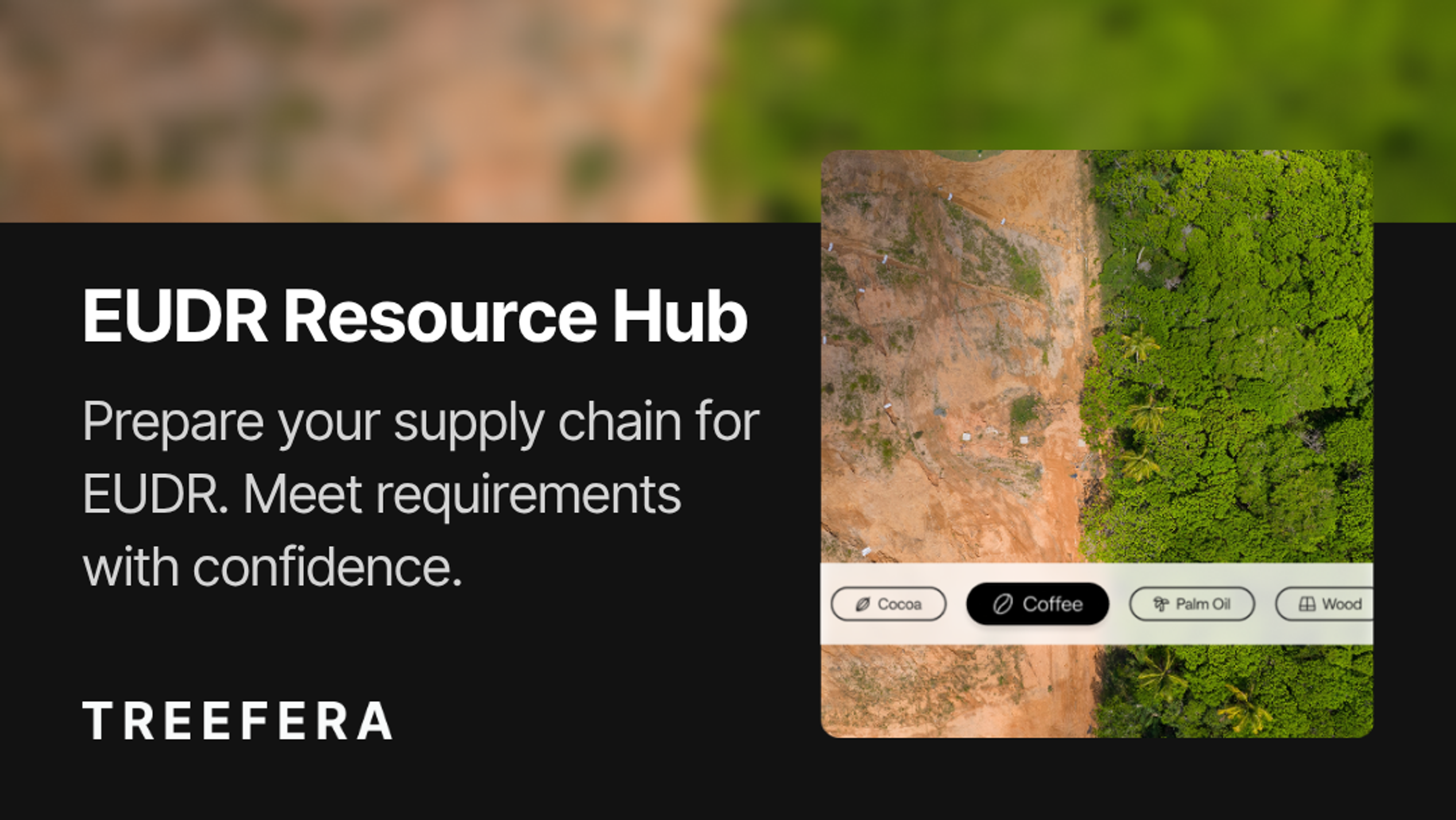
The European Union Deforestation Regulation (EUDR) has ushered in a new standard for transparency and traceability in global commodity supply chains. Under this regulation, companies that import or export certain commodities - such as cocoa, soy, palm oil, rubber, cattle, coffee, or wood - and products derived from them, - must demonstrate that their products are not linked to deforestation – and in the case of wood, also forest degradation. These requirements apply to all relevant commodities entering or leaving the EU starting on 30 December 2025 with a 6 month penalty grace period for large companies and 30 December 2026 for small and medium enterprises.
Unlike earlier environmental regulations, EUDR does not accept generalized risk ratings or country-level assurances. EUDR introduces a much more specific standard - requiring traceability to the precise plot of land where a commodity was harvested, with clear evidence that the land was not deforested or degraded (in the case of wood) anytime after December 2020 and that production practices are compliant with relevant local laws.
What Counts as Proof Under EUDR?
Under EUDR, compliance requires more than supply chain documentation. It requires spatial precision at the first mile. Companies must provide geolocation data that clearly defines the boundaries of each plot, precise harvest timelines, and assurances of legal compliance specific to that location.
To meet this level of accuracy, the methods used to collect and verify information must change. Relying on only manual, field-based observations or informal records introduces gaps that are difficult to reconcile. Data gathered manually or through informal networks is often inconsistent and lacks the structure needed for regulatory validation.
Combining satellite and remote sensing technology and our proprietary artificial intelligence (AI) models with our strategic data fabric allows Treefera to bridge that gap. These tools allow companies to analyze land use in detail, interpret changes over time and apply regulatory definitions in a consistent and reliable way. The information captured through this approach is not only more complete but easier to organize and apply to compliance reporting.
Treefera enables this process by converting raw, fragmented data into structured, verifiable insights. The platform uses remote sensing and satellite imagery at a range of resolutions, historical land-use models and AI-based classification to assess land conditions and determine compliance status. Each assessment is aligned with EUDR standards and ready to support audit preparation and due diligence documentation.
Challenges in the Field
Sourcing often involves multi-origin supply chains, composite products and smallholder networks – which introduces complexity when tracing materials back to their source. In many regions, digital land records may be incomplete or non-existent, and producers may lack tools for consistent documentation.
Treefera is designed to close these gaps. In Madagascar, for example, a cocoa cooperative was able to map its farm plots with minimal technical support. Once uploaded, Treefera’s platform automatically assessed the land’s deforestation risk and compliance history, helping the cooperative retain EU market access and strengthen buyer relationships based on verifiable sustainability.
Why Plot-Level Detail Is Now Essential
The EUDR places compliance responsibilities at the first-mile, requiring verifiable evidence at the plot level, regardless of whether a country is considered low or high risk. This means that all sourcing locations must be assessed using the same legal and environmental benchmarks.
Treefera enables this by providing remote sense monitoring that tracks changes in land cover over time. Our proprietary AI models interpret this satellite data using definitions and thresholds that are directly aligned with the EUDR, leveraging insights on locations, commodities and production from our sourcing, and risk solutions and identify whether deforestation or degradation has occurred within a specific location.
A key feature that supports this process is Treefera’s pin-to-polygon capability, leveraging our Location Discovery feature. When companies upload a single geolocation point – such as a farm or supplier coordinate – the platform can intelligently expand that into a full land parcel by referencing spatial datasets and inferred boundaries. This allows users to move from a simple map pin to a verified plot boundary, which is the format EUDR requires for due diligence reporting.
For organizations that may not yet have formal cadastral data or mapped field boundaries, this feature offers a way to meet compliance obligations without requiring significant manual effort. It also supports consistency across suppliers and regions, reducing the variability that can arise from different mapping methods.
These spatial insights are paired with visual dashboards and structured data summaries, making it easier for compliance teams to review risks, validate sourcing decisions and prepare audit-ready documentation with confidence.
How Treefera Validates the Data
Each compliance assessment conducted by Treefera is grounded in legal definitions outlined by the EUDR and enhanced with a range of global datasets. Our platform helps to monitor land use change and flag conversion of forest types amounting to degradation.
This process includes assigning each polygon a classification – low, medium, or high risk of non-compliance – and backing that classification with visual timelines, metadata summaries and relevant land use context. These outputs are designed to be directly usable in due diligence statements and audit reports.
What to Look for in a Compliance Partner
An effective EUDR solution must deliver accurate mapping, detect relevant land use changes and fit within the operational realities of each organization. Some companies are ready to integrate compliance checks into their procurement or ESG systems. Others may be earlier in the process, seeking a way to generate verifiable reports without having formal tools in place.
Treefera is designed to support both ends of this spectrum. The platform equips legal teams with traceable evidence, gives ESG leads a clear view of environmental risk and enables sourcing professionals to work confidently with suppliers. Whether a company is expanding existing systems or establishing new ones, Treefera provides the foundation to meet EUDR obligations and demonstrate responsible sourcing.
The Path Forward
As enforcement of the EUDR moves forward, the ability to demonstrate plot-level compliance is no longer optional. It is essential for maintaining uninterrupted access to the EU market, protecting supply chain continuity and avoiding significant financial penalties. Companies that fall short of these expectations risk shipment delays, reputational damage, as well as costly fines that can impact revenue and growth.
Treefera is committed to helping businesses navigate this new landscape with clarity. Our technology turns complex environmental and regulatory data into actionable insight, allowing teams to move with greater speed, accuracy and confidence.
In our next post, we’ll look more closely at how Treefera uses satellite monitoring and AI to bring visibility to the first mile – enabling companies to detect and respond to risks early, moving from reactive compliance to proactive supply chain management.
Find out more about EUDR in our Resource Hub