Industry Insights
From Forecasts to Action: How Tech Will Power Climate-Resilient Operations in 2026
14 January 2026
The impact of climate and weather volatility is increasingly tangible for businesses worldwide. Extreme weather is resulting in failed and reduced harvests, completely disrupting and reconfiguring the supply chain. This year alone we’ve seen wildfire devastation and record breaking hurricanes in the U.S., while droughts and floods further afield continue to affect businesses and consumers, with unsustainable food price increases. This creates a perfect storm of business disruption across procurement, production, and profitability.
In 2026, the ability to interpret how accelerating weather and climate volatility influences production will become a decisive competitive edge. Organizations will no longer be able to rely solely on historical patterns or reactive risk management. Instead, they will need continuous, forward-looking visibility into both real-time conditions and future disruptions that could impact operations and supply continuity.
The reality of first-mile risk
The “first mile,” e.g., sourcing regions where soft commodities are grown and harvested, is particularly susceptible to risk. In fact, as much as 60% of business costs and risks occur within the physical places where these commodities originate.
At the same time, we’re seeing growing regulatory pressure for those exporting to the EU as a result of the EUDR (European Union Deforestation Regulation). Despite changes to the regulation, and delays to its implementation, the EUDR should be front of mind for any organization that imports goods like cattle, cocoa, coffee, palm oil, rubber, soy, and wood into the European Union. Organizations that don’t meet the core deforestation objectives – by ensuring deforestation has been eradicated in their supply chain since 2020 – could face fines and in some cases a temporary ban from the EU market.
Shifting from assumption to evidence
There are therefore many moving parts to getting the first mile right, and extreme weather adds yet another complication. Until recently, a lack of transparency and access to information on the first mile has meant managing all of these risks is particularly challenging.
Yet it’s crucial to improve sightlines into sourcing regions as extreme weather events surge. Farm Bureau data highlights the massive scale of destruction related to extreme weather-related disasters, with 27 across the U.S in 2024 alone, each with damages exceeding $1 billion.
Despite widespread flooding and hurricanes, drought and heat-related conditions drove the majority of U.S. crop losses, totaling more than $11 billion. Texas experienced the greatest agricultural losses for the third year in a row, with damages exceeding $3.4 billion. Cotton was the most affected crop at $1.8 billion in losses, followed by forage and rangeland, as well as wheat. In fact, more than two-thirds of Texas’ losses in 2024 were caused by drought, excessive heat, and hot winds.
To insure harvesting land against these events, risk has traditionally been evaluated through assumption-based models; for example, a percentage chance of whether the event is likely to occur. Yet the technology available today is changing this method for the better. With the climate crisis worsening, assumption-based modelling is simply no longer a sustainable nor necessary approach. Instead, risk can be evaluated with evidence. With deep scientific, environmental and weather analysis, it’s possible to track when land is getting drier, vegetation is becoming denser, and atmospheric conditions are changing - signaling a wildfire, for example. This progress means that not only can risk be reduced significantly, but preventative measures can be put in place to stop the worst from happening.
Closing the visibility gap
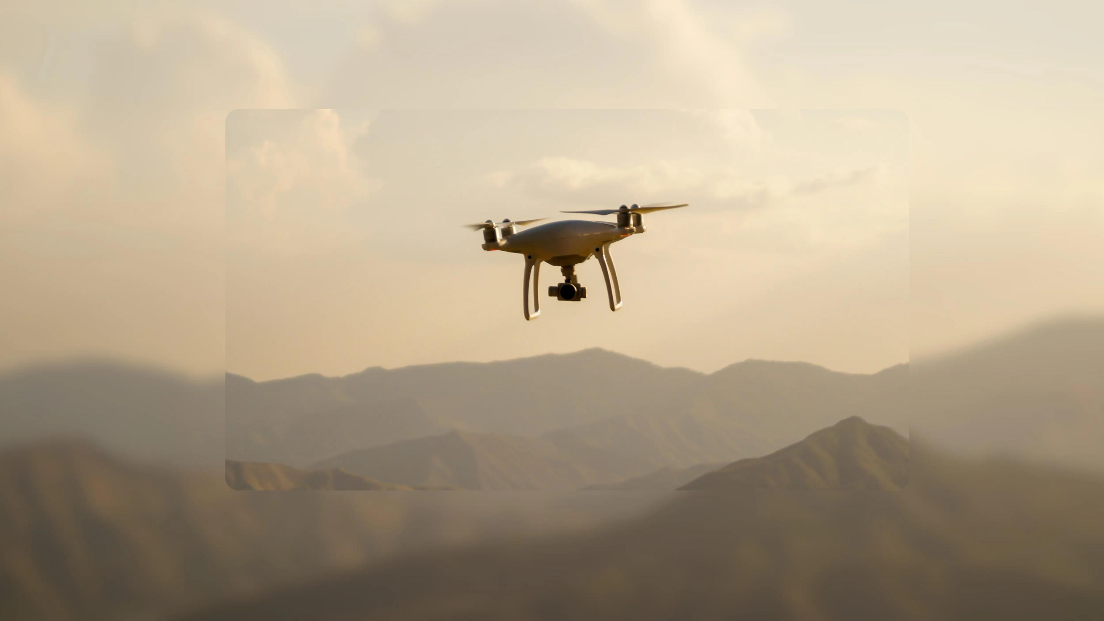
In order to enable this advanced risk analysis, the technological shift centers around satellite and drone imagery. The reality today is that historical and more traditional methods of land records and fragmented datasets are outdated. Until now, the original approach to understanding risk and managing the first mile has created a significant visibility gap, generating supply-chain wide uncertainty and growing business cost.
What’s more, much of the first mile data already out there is either insufficient or incorrectly classified. There have been cases where palm oil tree plantations have been misclassified as forests, for example, which in turn would create incorrect flags for EUDR’s deforestation requirements once it is enforced. It’s therefore crucial that businesses utilize technology to generate and validate datasets themselves. The good news is that satellite output now offers 10-meter resolution imagery, enabling businesses to monitor land use change, forest degradation, or methane emissions across vast areas with granularity.
Going one step further, agentic AI can implement expert workflows that can abstract complexity at a massive scale. For example, synthesising vast and heterogeneous datasets, from satellite imagery to transactional records, into actionable, defensible insights at the scale and speed that modern supply chains operate.
Cacao is one crucial example of how harvests have changed over recent years. Its huge price spikes have been driven by fundamental shifts in production conditions across West Africa. This is because cacao is particularly susceptible to climate related viruses like swollen shoot disease caused by heavy rainfall, which can decimate crop harvests. In fact, in Ghana and Côte d’Ivoire, where over 50% of the world’s cocoa originates, prolonged rainfall, disease, soil degradation and rising temperatures have undermined yields – forcing manufacturers to make choices between cost, quality and composition.
Yet with satellite imagery and AI, businesses can gain greater insight into their sourcing regions and understand where may be most susceptible to flooding based on recent weather events. With advanced remote sensing capabilities, satellites offer a continuous, bird’s-eye view of sourcing regions and the risks from extreme weather. Then, acting as a connective tissue between data sources, AI can apply deep scientific expertise to analyze and predict harvest success in the future. With this intelligence, businesses will understand where their biggest risks exist. Further still, they can take either preventative measures to improve harvests, or source new harvesting regions to mitigate another unsuccessful year.
The power in prediction and prevention
It’s undeniable that preventing disruption is more cost-effective than managing a crisis. For businesses in 2026, it’s crucial they prioritize supply chain resilience. A successful supply chain is one that can integrate predictive models and environmental risk insights into their planning cycles in order to reduce exposure, limit losses, ensure operational efficiency and act faster.
The reality is that companies that are able to detect risk and monitor the success of harvests throughout the year, then allowing preventative action, will be the ones that succeed as extreme weather events continue to expand risk posture in the coming decade. Climate-resilient operations should be a key consideration at board level, and technology will be critical in making this shift a possibility.
Find the full article here